
Course Overview
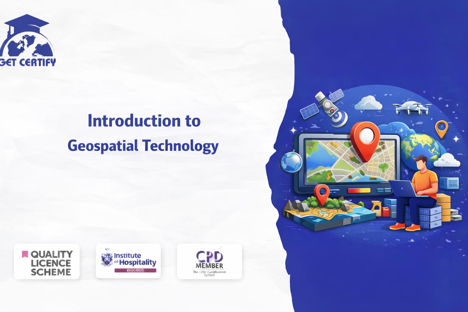
The Introduction to Geospatial Technology course is designed to provide learners with comprehensive knowledge and practical insight into the modern world of geographic information systems (GIS), remote sensing, and spatial data analysis. This course explores how geospatial technologies are used to collect, manage, analyse, and visualise geographic data for decision-making across various industries.
With the rapid growth of location-based services, satellite mapping, and digital cartography, geospatial technology has become an essential skill in fields such as urban planning, environmental monitoring, transportation, disaster management, and business intelligence. This course equips learners with the knowledge required to understand spatial data and apply geospatial tools effectively.
The course materials are delivered online, allowing learners to study at their own pace and develop practical knowledge of geospatial concepts and technologies used in real-world applications.
By completing this course, learners will gain:
Foundations of Geospatial Technology: A clear understanding of geographic information systems (GIS), spatial data, and mapping technologies.
Spatial Data Analysis Skills: Knowledge of how geographic data is collected, processed, and analysed to support informed decision-making.
Remote Sensing Concepts: Insight into how satellite imagery and aerial data are used for environmental monitoring and mapping.
Mapping and Visualisation Techniques: Skills to create and interpret digital maps, spatial visualisations, and geospatial datasets.
Real-World Applications: Understanding how geospatial technologies are used in industries such as transportation, agriculture, urban planning, and environmental management.
This course aims to equip learners with the knowledge and competence to:
This course is suitable for:
Successful learners may progress into roles such as:
This CPD-accredited course is delivered fully online through interactive modules with audio voiceover. Learners benefit from self-paced study accessible via laptop, tablet, or smartphone, along with 24/7 learning assistance.
Once you’ve successfully completed your course, you will immediately receive a digital certificate. You may also request a printed certificate delivered by post (shipping cost £5.99).
All of our courses are fully accredited, ensuring that learners gain up-to-date skills and knowledge to become more competent and effective in their chosen field. Certificates do not expire; however, we recommend renewing training every 12 months to stay aligned with current industry standards.
All of our courses, including this Introduction to Geospatial Technology course, are fully CPD accredited, ensuring that the learning materials meet recognised professional development standards.
No reviews yet. Be the first to review this course!
£125.00


Easy to follow and relevant information. Option to re-do quizzes was great too.
4 months agoGot way more than I expected with this course. Extremely detailed. You're able to engage in the modules as much or as little as your time availability. I highly recommend.
4 months agoThe course was very in-depth, informative and covered quite a wide variety of subjects.
4 months ago