
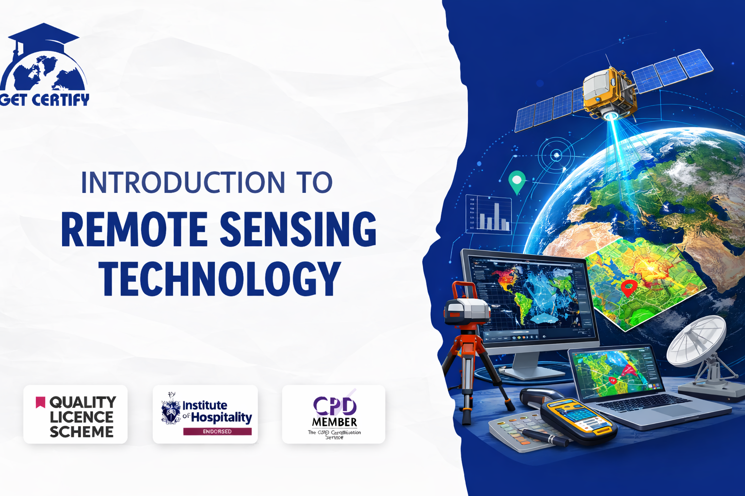
Course Overview
The Introduction to Remote Sensing Technology Course is designed to provide learners with comprehensive knowledge and practical insight into the principles and applications of remote sensing. This course explores how satellite imagery, aerial sensors, and geospatial technologies are used to collect, analyse, and interpret data about the Earth's surface.
Remote sensing technology plays a vital role in modern industries such as environmental monitoring, agriculture, urban planning, disaster management, and climate research. With the growing demand for geospatial data and earth observation systems, professionals with remote sensing skills are increasingly valuable in both public and private sectors.
This course equips learners with the essential knowledge required to understand remote sensing systems, data acquisition techniques, and the interpretation of geospatial imagery. The course materials are delivered online, allowing learners to study at their own pace and develop valuable technical skills relevant to geospatial science and environmental analysis.
By completing this course, learners will gain:
Fundamentals of Remote Sensing: A solid understanding of the principles, components, and technologies used in remote sensing systems.
Satellite and Sensor Technologies: Knowledge of different types of sensors, satellites, and platforms used to capture geospatial data.
Geospatial Data Interpretation: Skills to analyse and interpret satellite images, aerial photographs, and spatial datasets.
Environmental and Geographic Applications: Insight into how remote sensing is applied in environmental monitoring, agriculture, urban development, and natural resource management.
Data Analysis and Mapping Techniques: Understanding how remote sensing data integrates with Geographic Information Systems (GIS) for spatial analysis and decision-making.
This course aims to equip learners with the knowledge and competence to:
This qualification is suitable for:
Successful learners may progress into roles such as:
This CPD-accredited course is delivered fully online through interactive modules with audio voiceover. Learners benefit from self-paced study accessible via laptop, tablet, or smartphone, along with 24/7 learning assistance.
Assessment methods may include:
This course is CPD accredited and designed to reflect current industry standards and technological developments in the field of remote sensing and geospatial analysis.
Upon successful completion, learners will receive an instant digital certificate. A printed hard copy certificate can also be delivered by post (additional shipping charges may apply).
Certificates demonstrate up-to-date professional knowledge and competence. While certificates do not expire, learners are encouraged to update their training annually to maintain best practice standards.
No reviews yet. Be the first to review this course!
£125.00


Easy to follow and relevant information. Option to re-do quizzes was great too.
4 months agoGot way more than I expected with this course. Extremely detailed. You're able to engage in the modules as much or as little as your time availability. I highly recommend.
4 months agoThe course was very in-depth, informative and covered quite a wide variety of subjects.
4 months ago